 Region · not Koiripur
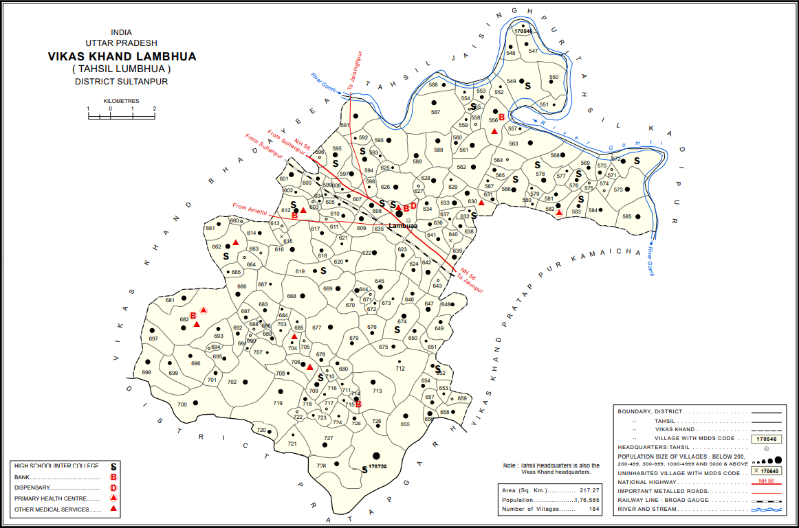
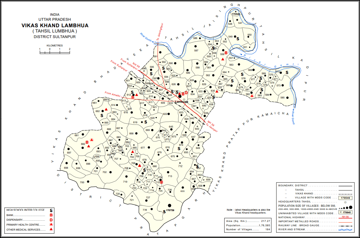
The Lambhua block map from the Census 2011 district handbook for Uttar Pradesh. It is the only official map that covers the block containing Koiripur, and so far the archive's most reliable spatial source. The town's own boundary is not on it — that can only come from the Nagar Vikas delimitation notification.
Rights and reuse
Government / public-sector
Usually reproducible with attribution — but read the specific site's terms and record the URL of those terms in the record
- Commercial use: yes
- Modification: yes
- Licence: Government Open Data License – India (GODL-India)
Credit line
Census of India 2011, District Census Handbook, Sultanpur — Lambhua block map, GODL-IndiaCitation
Lambhua block map, Census 2011. Photograph: A. P. Singh (map), 2016 · Government Open Data License – India (GODL-India). Koiripur Digital Archive, KPR-2026-0008. https://koiripur.com/en/sangrah/KPR-2026-0008